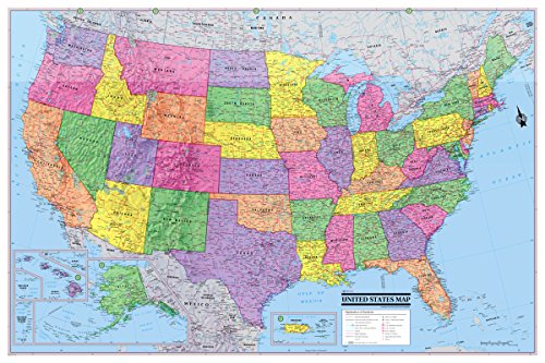


These economical 2016 Political USA/United States poster maps are made by all digital cartography and have color-banded borders for states for easy recognition. Features a wealth of information including state boundaries as well as capitals, many major cities and geographical features (the MOST names than any competitor map this size or even larger). Also, shows a major road network. Digital mapping by Cartographers with many years of mapping experience. They come factory folded for easy use and storage. Ships in an envelope.
Trustpilot
2 months ago
1 month ago
3 weeks ago
3 weeks ago