
Desertcart purchases this item on your behalf and handles shipping, customs, and support to USA.
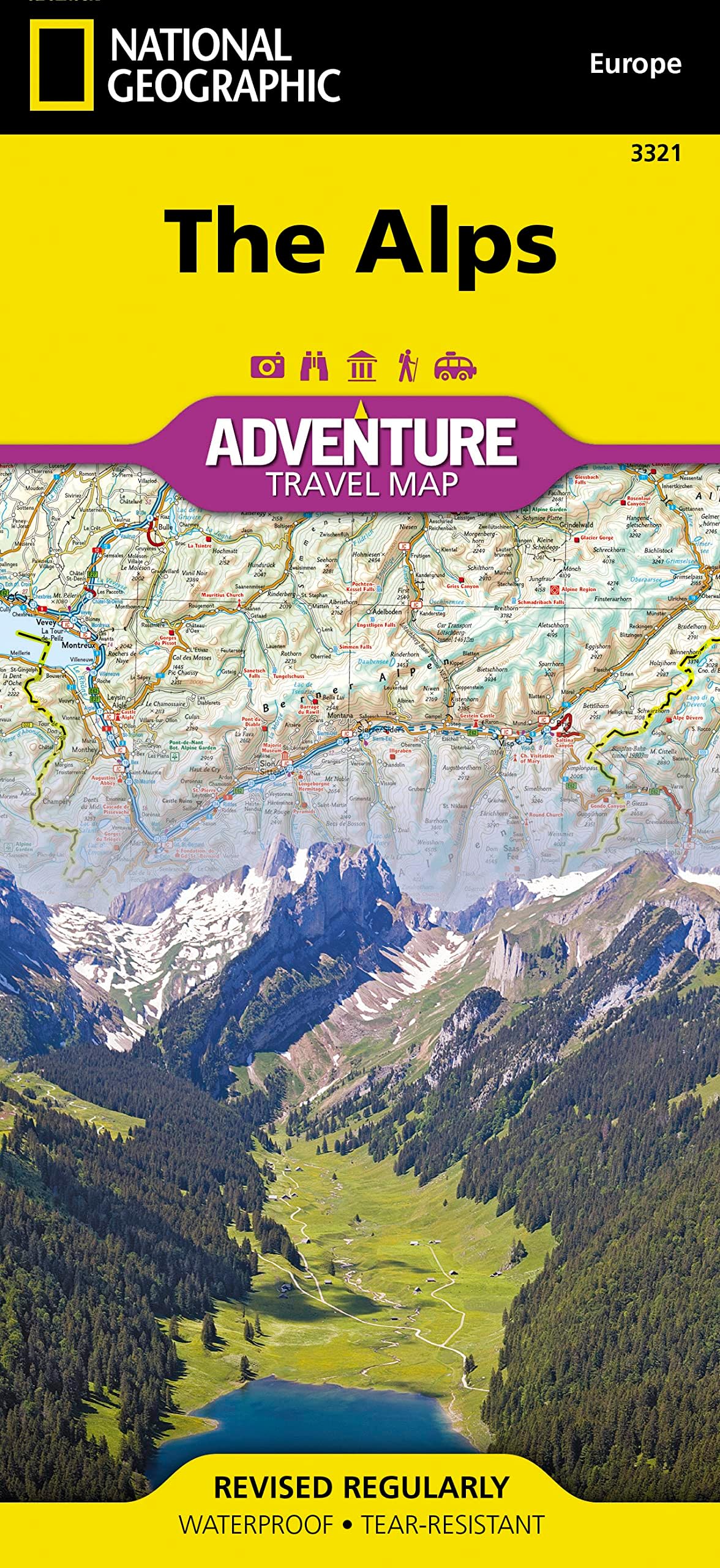
From the snow-capped peaks of Switzerland to the rugged Dolomites of Italy , explore Europe’s most iconic mountain range with the National Geographic Adventure Map – Alps Edition , created by Travel Maps International . Designed for hikers, climbers, cyclists, and alpine explorers , this waterproof and tear-resistant map provides detailed topography, scenic routes, and points of interest across the Alps. This map is essential for planning trips through the French, Swiss, Austrian, German, Slovenian, and Italian Alps, featuring trails, roads, natural parks, and cultural sites throughout the range. Key Features: Covers the Entire Alpine Region Includes areas of France, Switzerland, Italy, Austria, Germany, and Slovenia — ideal for multi-country adventures. Waterproof & Tear-Resistant for Outdoor Use Perfect for alpine hikes, bike tours, road trips, and snow-season treks across mountain terrain. Topographic Detail with Elevation Shading Shows peaks, valleys, alpine passes, hiking trails, national parks, ski areas, and scenic drives. Cultural and Outdoor Highlights Features key landmarks, UNESCO sites, alpine villages, and regional tourist attractions. Trusted Cartography from National Geographic A reliable tool built with the detail and accuracy that serious travelers and outdoor enthusiasts demand. Whether you’re hiking the Tour du Mont Blanc , skiing in Tyrol , or road-tripping through the Dolomites , the Alps Adventure Map is your guide to one of the world’s most breathtaking regions. Review: Good Product - It's a map . Review: perfect for my needs - perfect for alp route planning . Details amazing too


| Best Sellers Rank | 28,647 in Books ( See Top 100 in Books ) 189 in Geography References 199 in Hiking & Walking Holidays 412 in Travel Atlases & Maps |
| Customer Reviews | 4.5 out of 5 stars 93 Reviews |
J**D
Good Product
It's a map .
N**E
perfect for my needs
perfect for alp route planning . Details amazing too
P**R
best map of the alps: clear, detailed, convenient, tough
I bought and compared three maps of the alps - National Geographic, Freytag and Berndt, and Marco Polo. The National Geographic map in my view definitely wins; it is clearer to look at, has as much detail as the F&B, and it is *much* easier to handle than either of the others. The F&B and Marco Polo maps are big and bulky even when folded up, whereas this one is slim and light. It doesn't go as far west into France as the F&B (i.e. only to Nice, not to Marseille), but on every other count it's the one to go for. The modern waterproof and tear-resistant paper is great.
P**T
Good map but the scale limits its usefulness
It's a good map but this scale is not detailed enough for the route planning that I wanted it for.
D**S
Five Stars
Excellent
R**.
Durable, good mapping, 1:600,00
Good quality water & tear resistant paper, nice mapping, 1:600,000 scale with 200m contour interval, sheet size 65cm*95cm, double sided.
S**H
very good map
I bought this as a present - It was very well packed. So far nothing bad to say about it! all good! :)
A**A
Poco dettagliata, inferiore ad altre di case editrici differenti.
Purtroppo la carta risulta poco dettagliata (rispetto ad altre di pari scala), mancano numerose strade secondarie e il nome di molti passi/colli alpini. Per una cartina della Alpi purtroppo questa è una grave carenza. La mappa inoltre risulta di non immediata lettura (scelta dei colori) e non sono segnalate (come per la maggior parte delle carte di altre case editrici) strade panoramiche o di interesse turistico. Eseguito il reso. Spedizione Amazon impeccabile come sempre.
M**L
Scale too small. No enlargment of the highest mountain of the Alps, Mont Blanc
The scale is too small. 1:600 000. I expected 1:24K as the Everest base camp map sold by Nathional geographic.
M**R
The Alps - great map for regional travels through the area
This map is very detailed, and it covers a relatively large geographic area, including all or part of 10 countries. It is great for planning regional travel through the Alps; it includes the major highways and many of the rail lines. Just the same, if you want to see even more detail for the individual valleys and other features, consider getting country-specific maps, such as the one for Switzerland.
A**ー
全体像を把握できる
チロルに行く予定で購入したが、全体像を把握するのに役立っている。
Trustpilot
2 weeks ago
2 months ago