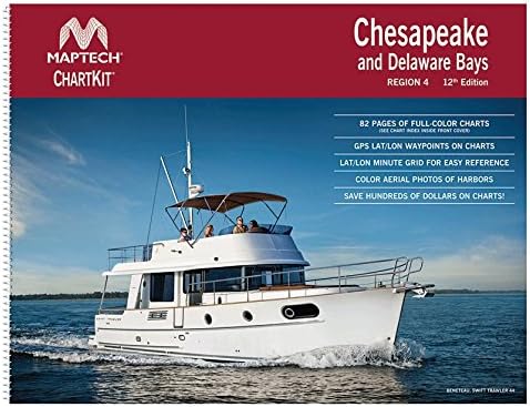


MAPTECHChesapeake and Delaware Bays Chart Kit R0412
Product ID: 24694164
Desertcart purchases this item on your behalf and handles shipping, customs, and support to USA.
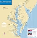
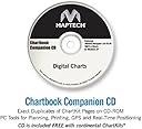
Maptech Part #R0412Chart kit R4 Chespke & Del BayChartkit R4 Chespke & Del BayChart Kits are full-color reproductions of U.S. government and private charts spiral bound into popular cruising regions with aerial photos, pre-plotted courses and more. The convenient-sized books are large enough to allow for manual plotting, yet small enough to sit on your nav-station or lap. A companion CD that duplicates ChartKit pages with PC tools for planning and printing is included. Attributes:Territory: Chesapeake and Delaware BaysPackage Quantity = 1
J**M
Charts are Good but Software License is a Total Rip Off!
The digital chart software that is included with this Maptech Chartkit has a rip-off license in my opinion. You have to get a license key from the publisher and you can install it on up to 3 computers. However, if in the future your computer hard drive crashes, you are totally out of luck and the $100+ you spent on the software/chart kit is down the drain.Software companies that cripple software and have no allowance for crashed hard drives should be boycotted. I have seen this happen with Adobe Acrobat Pro and although it was difficult, at least with Adobe, they were flexible with their license and were able to reactivate the software after hard drive crash. According to Ted Shanstrom of Richardsons' Maptech, there are 3 installations - period.I will never buy any product from Maptech again. There are simply too many other options available, many of which are free.
C**N
Great set of charts in a convenient package
Very convenient chart book to keep on the boat. I do, however, need a magnifier sometimes since these are scaled down. Not a big deal.
J**T
Better than stars
Now I know where I am going and how to get there
Trustpilot
2 months ago
2 days ago